Subsurface Oceans on Mars? NASA’s InSight Uncovers Vast Reservoir of Liquid Water


Geophysicists using seismic data from NASA’s Insight lander have discovered a significant underground water reservoir on Mars, potentially enough to have once filled ancient oceans.
This reservoir, trapped within the mid-crust of Mars, suggests that the red planet’s water did not entirely escape into space but was absorbed into its crust, altering previous theories about Martian aridity and possibly providing a habitat that could support life.
Using seismic activity to probe the interior of Mars, geophysicists have found evidence for a large underground reservoir of liquid water — enough to fill oceans on the planet’s surface.
The data from NASA’s Insight lander allowed the scientists to estimate that the amount of groundwater could cover the entire planet to a depth of between 1 and 2 kilometers, or about a mile.
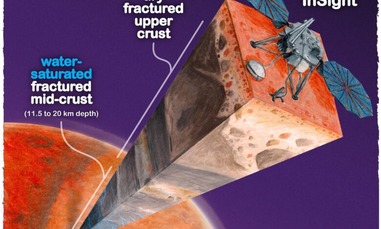
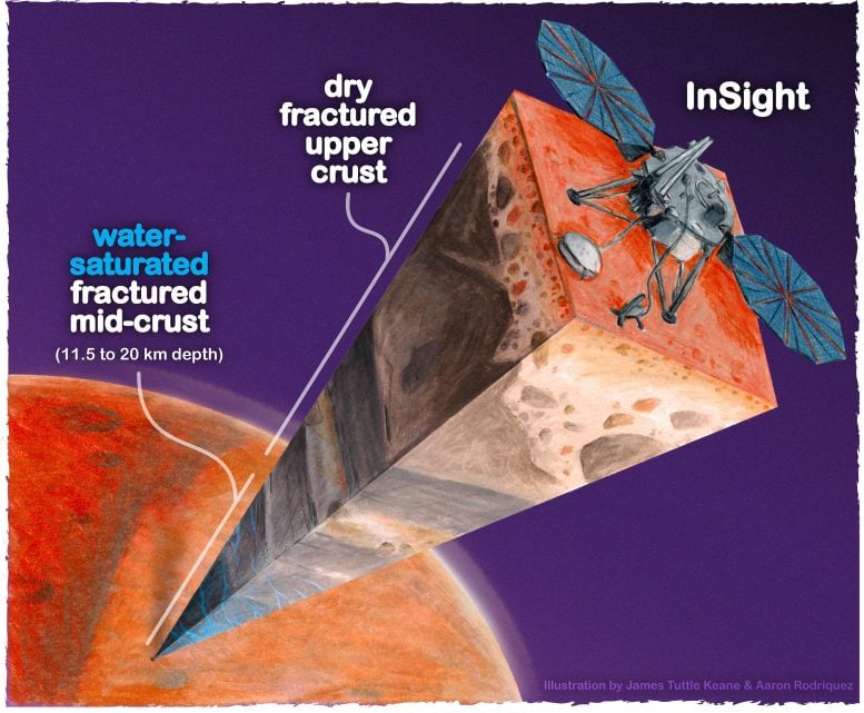
While that’s good news for those tracking the fate of water on the planet after its oceans disappeared more than 3 billion years ago, the reservoir won’t be of much use to anyone trying to tap into it to supply a future Mars colony. It’s located in tiny cracks and pores in rock in the middle of the Martian crust, between 11.5 and 20 kilometers below the surface. Even on Earth, drilling a hole a kilometer deep is a challenge.

Implications for Martian Colonization and Astrobiology
The finding does pinpoint another promising place to look for life on Mars, however, if the reservoir can be accessed. For the moment, it helps answer questions about the geological history of the planet.
“Understanding the Martian water cycle is critical for understanding the evolution of the climate, surface and interior,” said Vashan Wright, a former UC Berkeley postdoctoral fellow who is now an assistant professor at UC San Diego’s Scripps Institution of Oceanography. “A useful starting point is to identify where water is and how much is there.”
Wright, alongside colleagues Michael Manga of UC Berkeley and Matthias Morzfeld of Scripps Oceanography, detailed their analysis in a paper that will appear this week in the journal Proceedings of the National Academy of Sciences.
Techniques and Theories: Unveiling Martian Geology
The scientists employed a mathematical model of rock physics, identical to models used on Earth to map underground aquifers and oil fields, to conclude that the seismic data from Insight are best explained by a deep layer of fractured igneous rock saturated with liquid water. Igneous rocks are cooled hot magma, like the granite of the Sierra Nevada.
“Establishing that there is a big reservoir of liquid water provides some window into what the climate was like or could be like,” said Manga, a UC Berkeley professor of earth and planetary science. “And water is necessary for life as we know it. I don’t see why [the underground reservoir] is not a habitable environment. It’s certainly true on Earth — deep, deep mines host life, the bottom of the ocean hosts life. We haven’t found any evidence for life on Mars, but at least we have identified a place that should, in principle, be able to sustain life.”
Manga was Wright’s postdoctoral adviser. Morzfeld was a former postdoctoral fellow in UC Berkeley’s mathematics department and is now an associate professor of geophysics at Scripps Oceanography.
Evidence of Ancient Water and Mars’ Geological Evolution
Manga noted that lots of evidence — river channels, deltas, and lake deposits, as well as water-altered rock — supports the hypothesis that water once flowed on the planet’s surface. But that wet period ended more than 3 billion years ago, after Mars lost its atmosphere. Planetary scientists on Earth have sent many probes and landers to the planet to find out what happened to that water — the water frozen in Mars’ polar ice caps can’t account for it all — as well as when it happened, and whether life exists or used to exist on the planet.
The new findings are an indication that much of the water did not escape into space but filtered down into the crust.
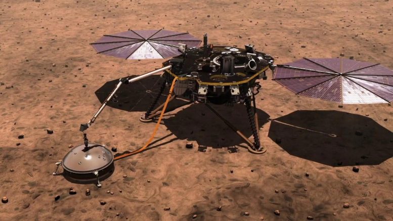
The Insight lander was sent by NASA to Mars in 2018 to investigate the crust, mantle, core and atmosphere, and it recorded invaluable information about Mars’ interior before the mission ended in 2022.
“The mission greatly exceeded my expectations,” Manga said. “From looking at all the seismic data that Insight collected, they’ve figured out the thickness of the crust, the depth of the core, the composition of the core, even a little bit about the temperature within the mantle.”
Insight detected Mars quakes up to about a magnitude of 5, meteor impacts and rumblings from volcanic areas, all of which produced seismic waves that allowed geophysicists to probe the interior.
An earlier paper reported that above a depth of about 5 kilometers, the upper crust did not contain water ice, as Manga and others suspected. That may mean that there’s little accessible frozen groundwater outside the polar regions.
The new paper analyzed the deeper crust and concluded that the “available data are best explained by a water-saturated mid-crust” below Insight’s location. Assuming the crust is similar throughout the planet, the team argued, there should be more water in this mid-crust zone than the “volumes proposed to have filled hypothesized ancient Martian oceans.”
For more on this discovery, see Did We Just Find Liquid Water on Mars? NASA InSight Lander’s Surprising Data.
Reference: “Liquid Water in the Martian Mid-Crust” 12 August 2024, Proceedings of the National Academy of Sciences.
DOI:10.1073/pnas.2409983121
The Canadian Institute for Advanced Research, the National Science Foundation, and the U.S. Office of Naval Research supported the work.
Source link


